The sea is explored in many ways
Although the sea is exciting, it is also a demanding area for exploration. We need to go beneath the surface, into the three-dimensional world of the sea.
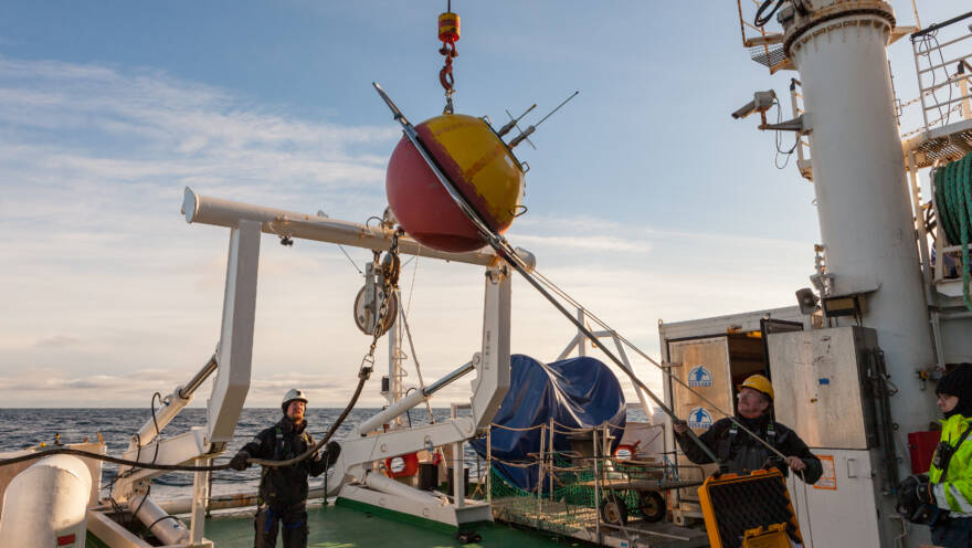
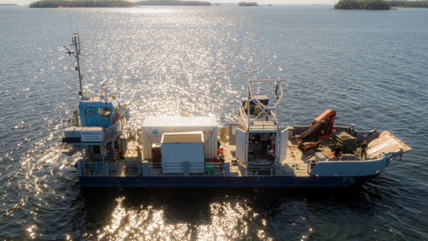
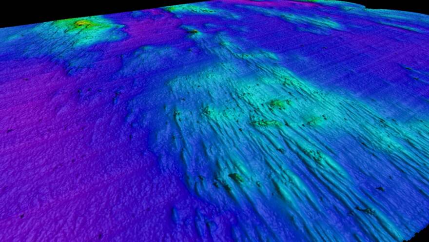
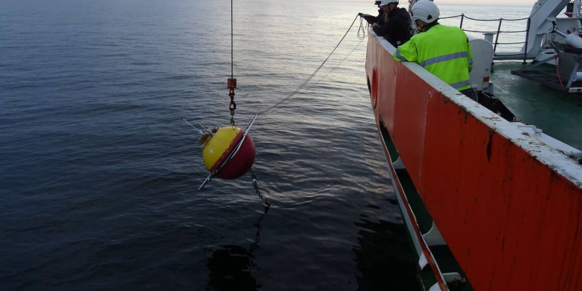
A wide range of sampling, sonar seabed surveys, as well as monitoring the status of herring and sprat stocks, are carried out on research vessels.
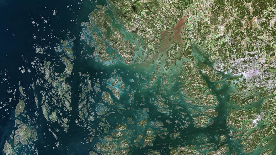
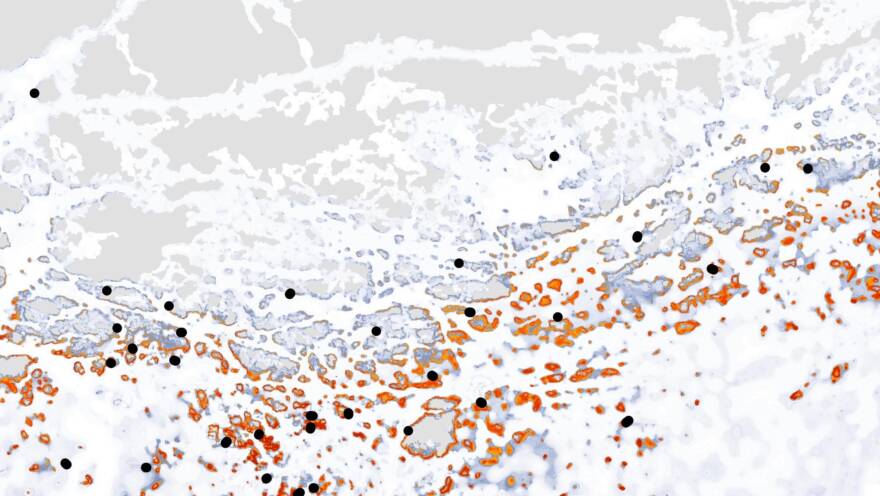
Remote-sensing methods can be used to capture large-scale areas in one go.
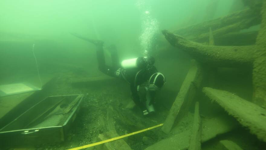
Scuba diving is used to map marine nature and make both archaeological inventories and inspections.
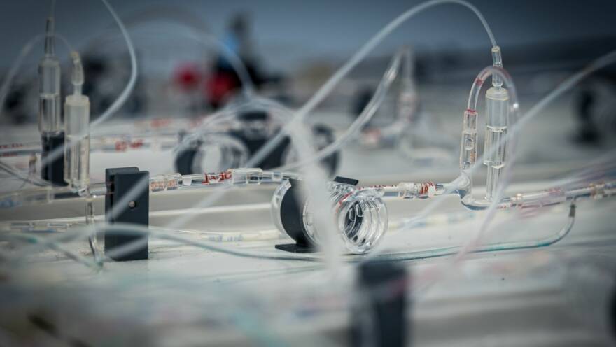
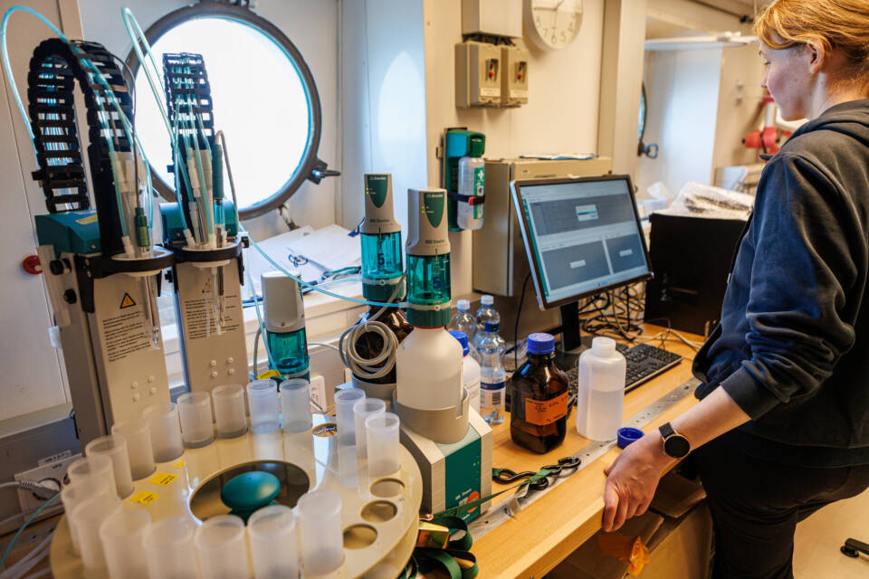
The water samples collected in the field are examined in the laboratory and the results are modelled by computer.
Wave buoys automatically measure the height and direction of a wave, as well as the surface temperature of the water.
An acoustic flow meter measures the direction and velocity of water currents.
Meren planktonia kerätään tutkittavaksi haaveilla.
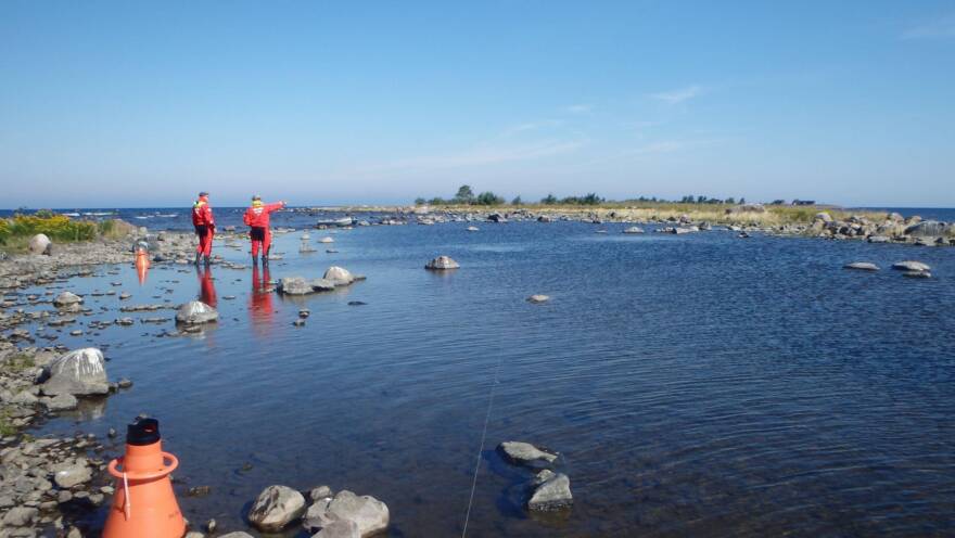
The hydroscope is used to view the biota of shallow bottoms. Moving in the shallows is easier on an SUP board.
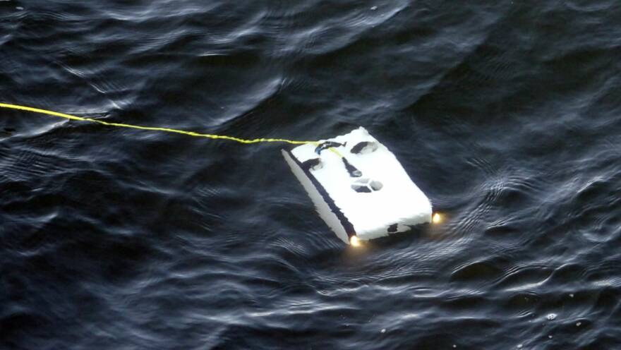
The traditional way to explore the sea is to sail on the surface and take water and sediment samples. However, such samples only give a general picture from here and there. Another method is scuba diving, but it also has its limitations. Divers are limited by how deep they can safely go and thus they cannot reach all places. The visibility is also often poor. Thus, researchers have also taken advantage of modern technology, such as robots, satellite imagery, and sonar.
Research methods are selected according to the type of information required from the sea. Is the history of the sea being determined from the bottom sediments or is the bottom quality being examined for construction? Are seabed habitats being mapped or fish breeding areas sought? Or maybe the task is to write a description of a new wreck find.
At sea and on land
Marine scientists do not spend all their time rocking upon the waves; much of their research is done in the laboratory or office. Here, samples are studied, and satellite imagery and other materials are analysed.
Statistical models are very important tools which are based on the sampling results. Models can be used to estimate the state of the sea in areas that have not been mapped. They can also be used to understand and predict marine phenomena and, for example, to improve the safety of seafarers.
At the worktable, scientists can also calculate the value of the sea area for the inhabitants of the coast or even Finland as a whole. The value of a sea area is measured using indicators known as ecosystem services. These are the monetary benefits provided by nature, such as fish production, climate control, or the seascape.
Nationally and internationally
Since the Baltic Sea is vast and also an international sea area, it is important that researchers work together. Indeed, Finnish researchers are closely involved in research cooperation throughout the Baltic Sea Region, as well as beyond its borders.
In Finland, national marine research is coordinated by the FINMARI consortium. It brings together marine scientists from different disciplines to develop research methods and models. Read more: FINMARI – a consortium for marine research.


