Walking and wading in the shoreline zones – research subjects range from fish fry to marine litter
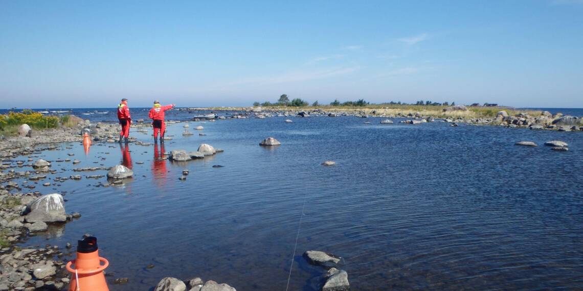
When walking along the shoreline, you should not be too surprised if you encounter a fish scientist or a marine ecologist, since shore zones are particularly rich habitats.
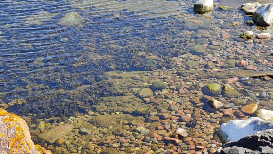
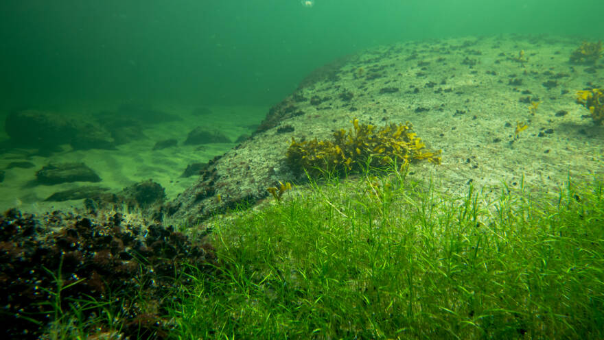
Many species of flora and fauna find a sheltered habitat for themselves or their offspring in shallow coastal waters. Similarly, the biota of shallow rocky shores is also abundant, whereas such living conditions change rapidly on moving into deeper areas.
While wading, you can map the biodiversity of the coastal zone or take samples of the shallow water communities there. Wading can also be used to find important breeding areas for different fish species. The problems of the sea, i.e. eutrophication and littering, are also particularly visible along the shoreline.
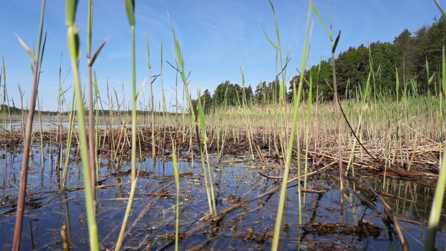
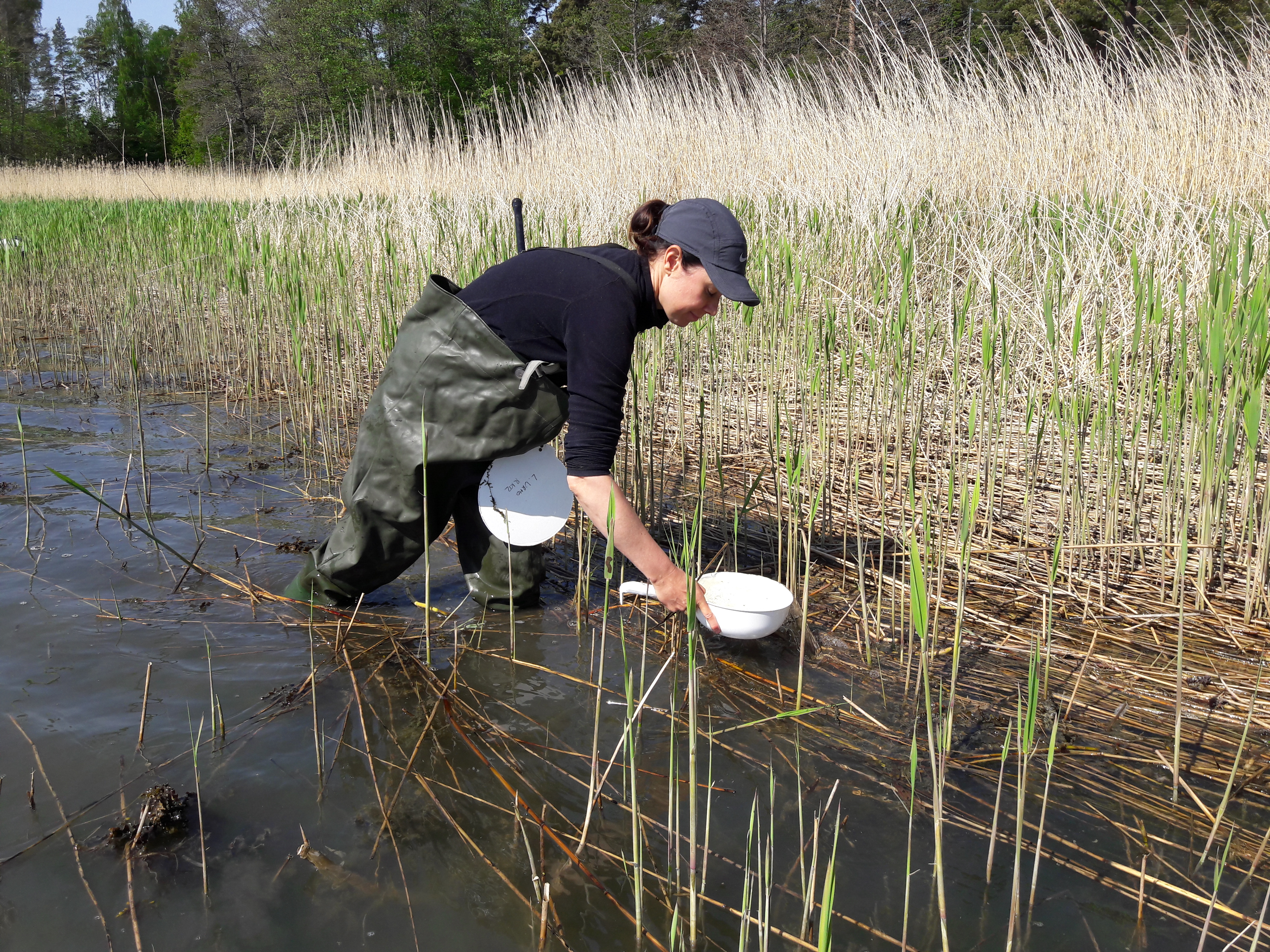
Fish fry are located using a white plate and a scoop
Like a good hunter, the fish scientist moves stealthily among the reeds, looking for the freshly hatched fish fry. The occurrence of juvenile pike and cyprinid fish, e.g. roach, bream, etc., along the Finnish coast, are mapped using a white disc and a scoop. This method is particularly suitable for shorelines with dense vegetation and where other approaches cannot be used.
-
 Find out more
Shallow bays
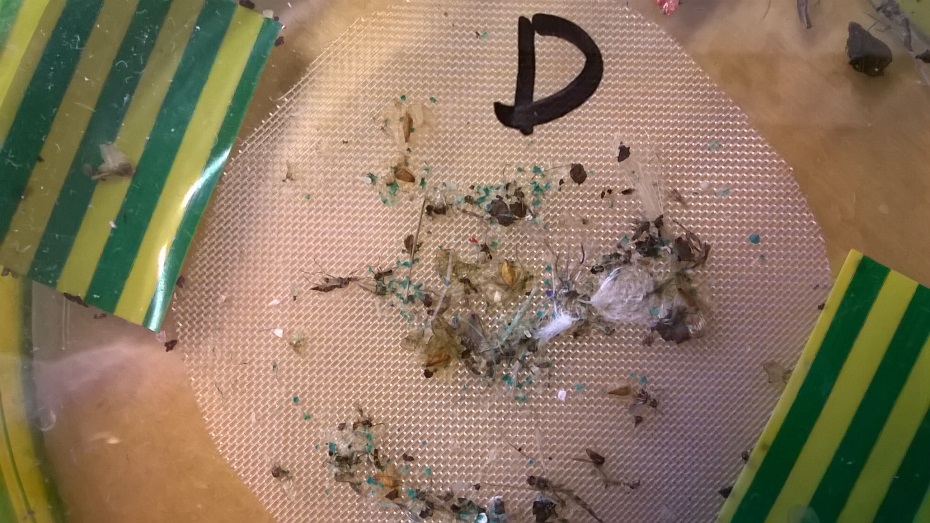
The white plate is a round white plastic disc with a diameter of 20-30 cm and is attached to a long hand-held rod. The plate is moved slowly underwater and beneath the vegetation so that the small juveniles fish swimming above the plate appear against the white background. An experienced researcher can identify the species of fish and estimate the number of fish just from the appearance of the fry.
If the species cannot otherwise be identified, the researcher may catch the fish fry in a light-coloured plastic scoop. This is possible because the tiny juvenile fish are not very skilled swimmers and cannot easily escape.


Litter is counted and recorded
A person counting shoreline litter can trudge along the shoreline more freely than a fish scientist; unlike the fish fry, the litter will not try to escape! Marine littering has been monitored by counting coastline rubbish since 2012. These surveys are carried out by volunteers. The work is coordinated by the Keep the Archipelago Tidy Association (Fin. Pidä Saaristo Siistinä ry), which turns over the collected data to the Finnish Environment Institute.
-
Find out more
Marine litter

The litter is counted three times a year, during snow-free periods. The count is routinely carried out on certain shorelines located all along the Finnish coast. Some of the counting areas are urban beaches, some semi-urban and others are in their natural state. Each is composed of a strip at least one hundred metres long and ten metres wide, from which all litter larger than 2.5 cm is counted.
Cigarette butts are not counted all over the shore area as their number would be exceedingly large. Instead, they are only counted within a square area measuring ten metres by ten metres.
-
 Find out more
Marine litter
-
 Find out more
Marine habitats