The Baltic Sea is geologically diverse
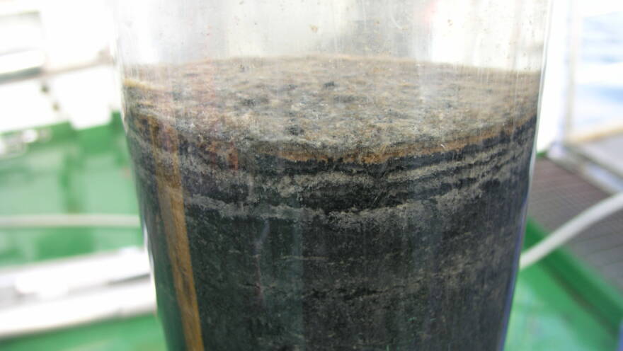
The seafloor of the Baltic Sea is highly variable. The basic shapes of the basin are defined by the bedrock, which is itself quite diverse. Layers of soil of varying thickness rest on the bedrock. These layers contain various soil types and deposits of different ages.
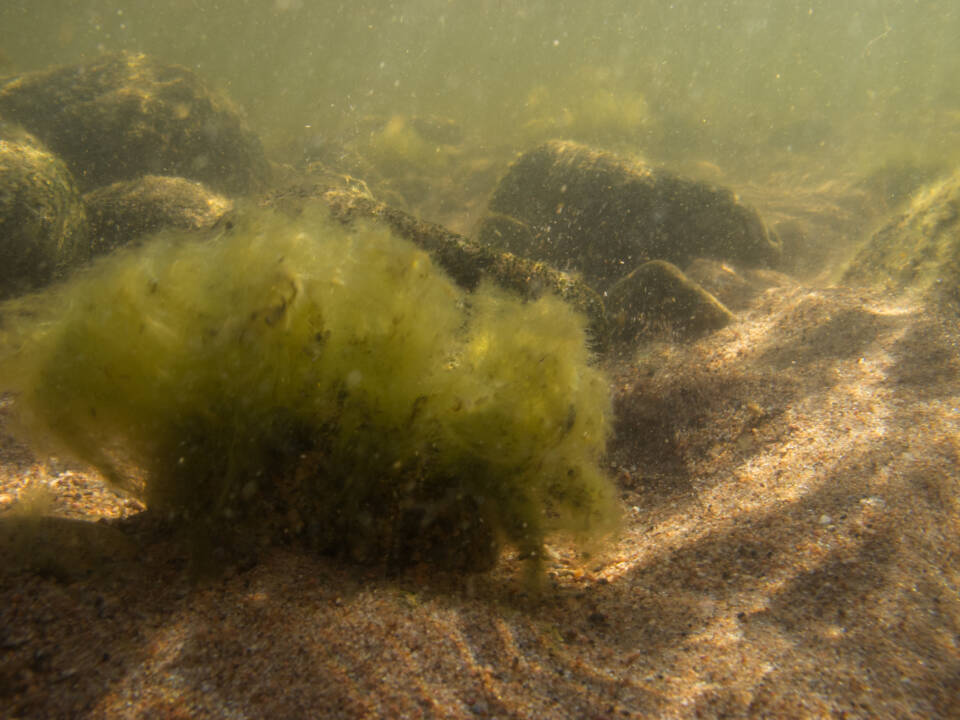
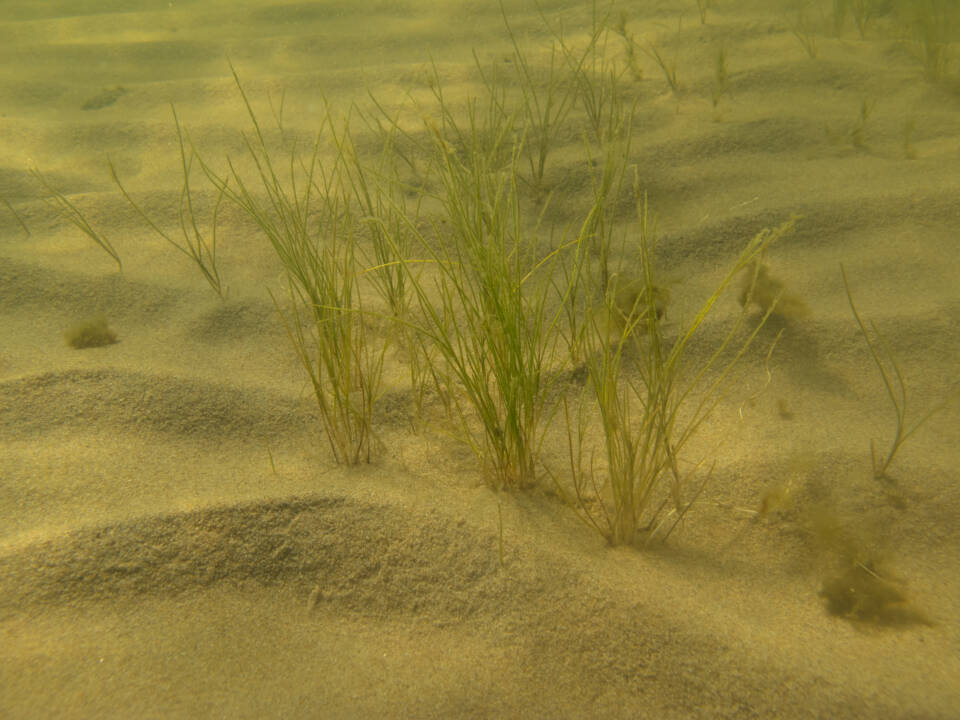
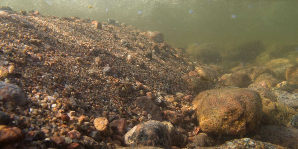
The geological features and characteristics of the seafloor – including the bedrock, soil types, and seabed shapes – are important for the organisms in the Baltic Sea. They influence the structure of the habitats for these organisms. For example, the communities of organisms living on rocky bottoms are very different from those on sandy bottoms. The geological diversity of the Baltic Sea thus creates the conditions for its biological diversity, or biodiversity.
The most diverse areas are in the northern Baltic Sea
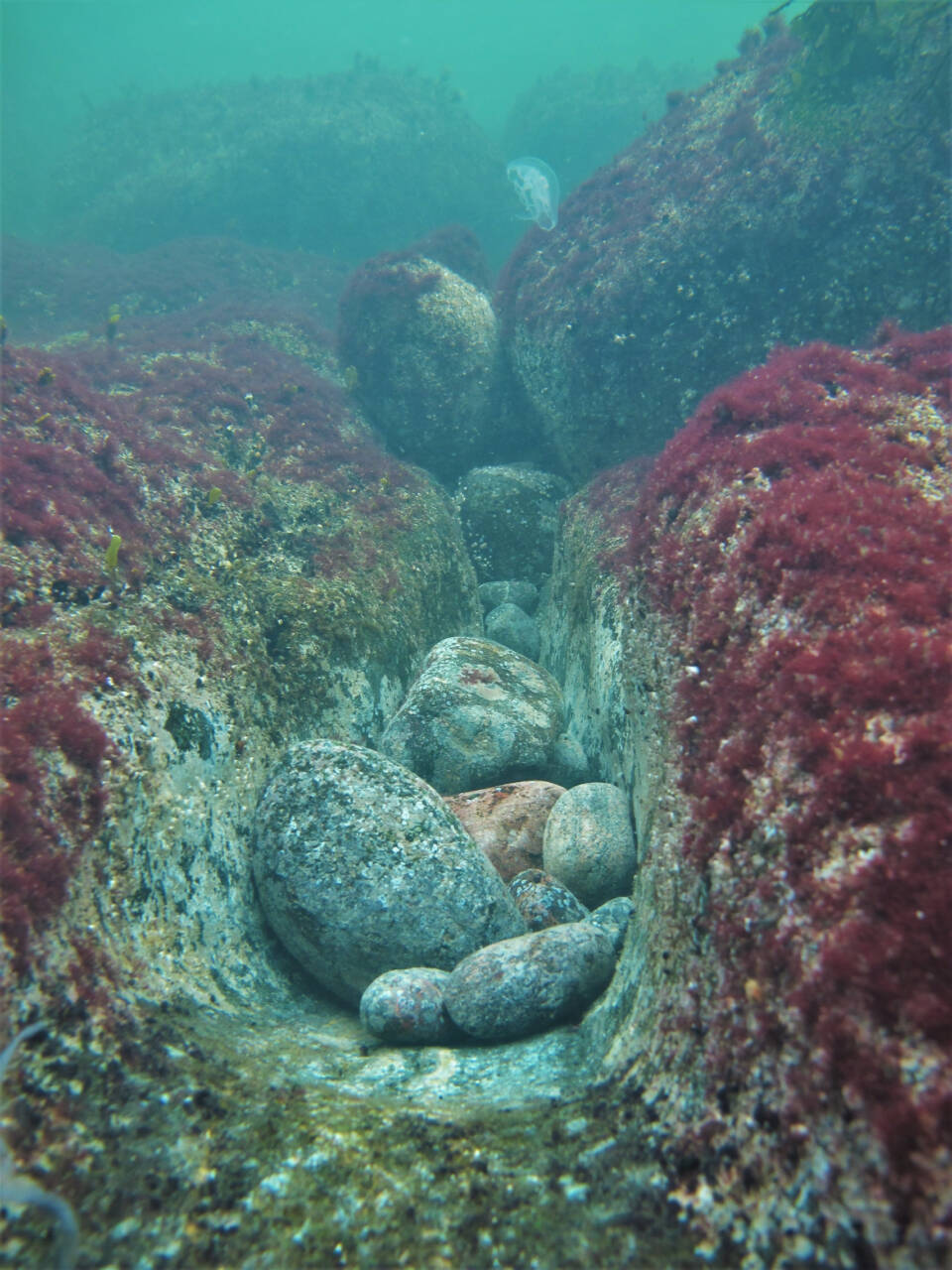
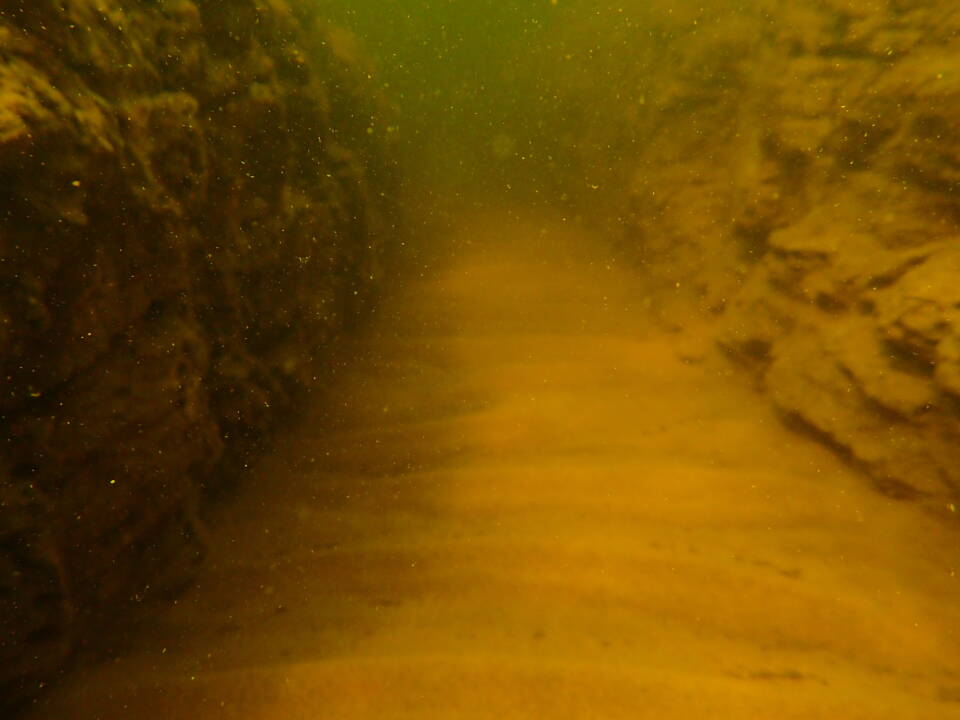
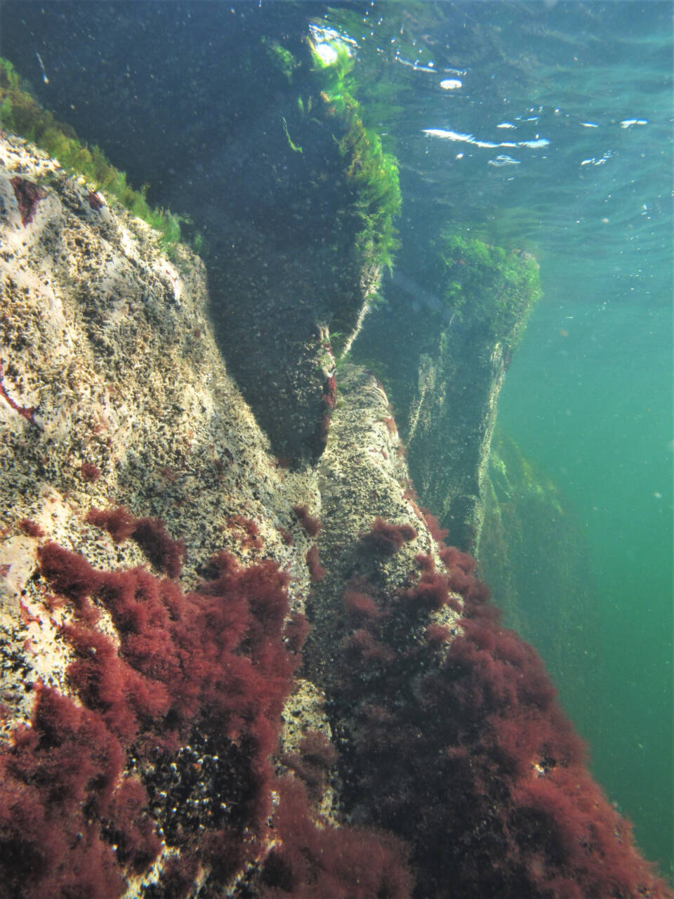
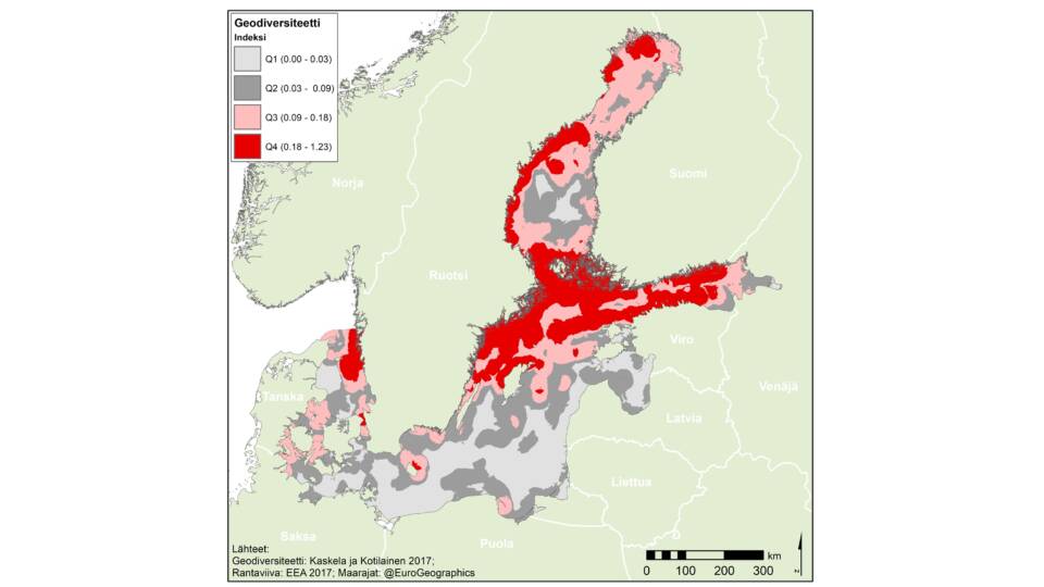
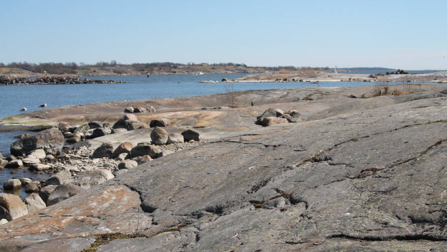
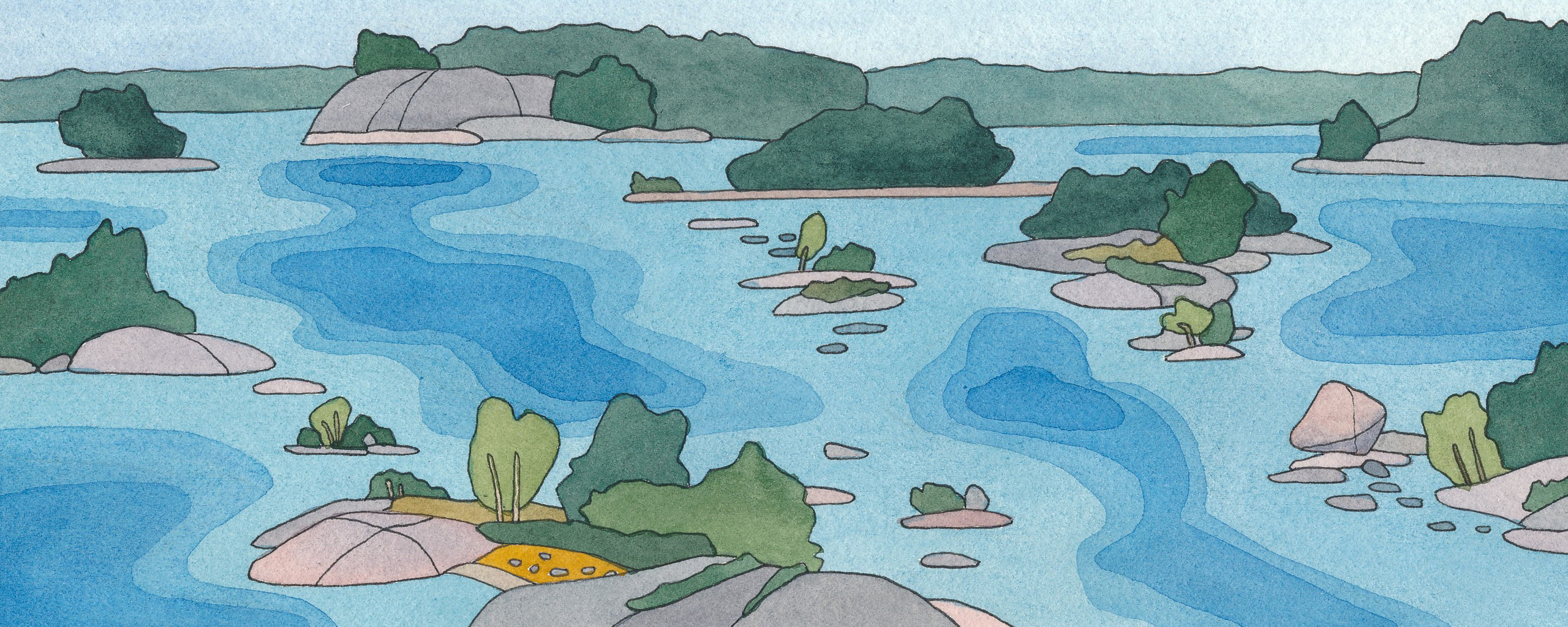
Geological diversity is greatest along the coasts of the northern Baltic Sea. Above the sea surface, this diversity is visible in the winding coastline and the abundance of islands. Underwater, there can be rocky walls of varying steepness, as well as gorges and elevations. In the southern Baltic Sea, the seafloor is flatter.
The shapes of the bedrock guide currents and partly determine where sediment accumulates on the seafloor. The last ice age had a significant impact on sediment accumulation. The ice and meltwater flows have both eroded the bedrock and soil and deposited material on the seafloor.
Land Uplift Shapes the Coastline
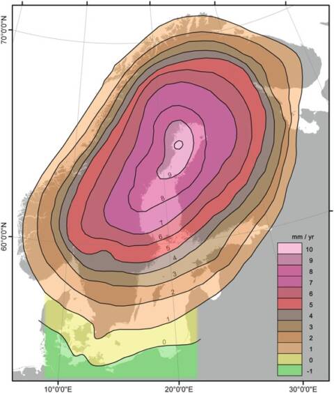
The northern parts of the Baltic Sea are also affected by land uplift. The Earth’s crust, once compressed by the continental ice sheet, is gradually rising back, causing the coastline to retreat seawards, shallows to rise as islands, and bays to become isolated from the sea.
The change is fastest in the Bothnian Bay and the Kvarken region, where the land rises by about nine millimetres per year. In the Gulf of Finland, the rate is slower, averaging three millimetres per year. Land uplift reveals approximately seven square kilometres of seabed along the Finnish coast each year.
