Ferrybox equipment collect information about the state of the Baltic Sea
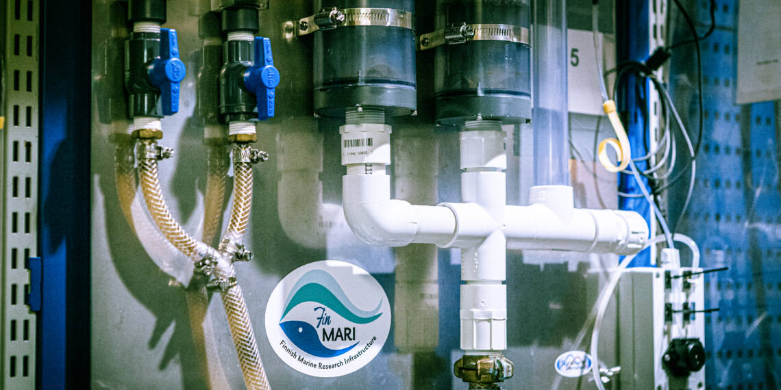
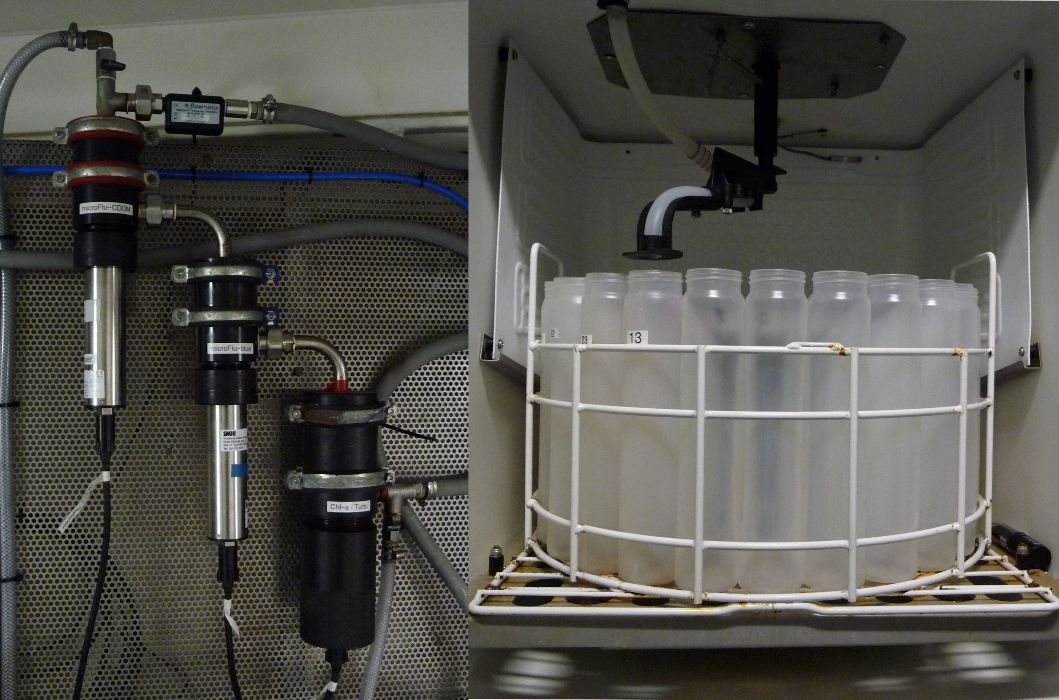
The measuring equipment installed on commercial ships are called ferryboxes, and they include a flow-through system and a set of measuring equipment. The water intake is located around 4–5 metres under the water’s surface, and the intake water’s flow through the water loop is controlled with a separate pump installed for the ferrybox.
How do merchant ships collect data?
The Alg@line project installs flow-through measuring systems called ferryboxes on commercial vessels. As the vessels travel, this apparatus detects the properties of the water flowing through it and collects water samples at the same time. Vesinäytteet pumpataan viiden metrin syvyydestä. Besides temperature and salinity, factors related to the biological and chemical properties of water, such as nutrient and phytoplankton levels, can also be measured from these water samples..
The onboard ship’s computer captures the data, which is then automatically transferred via satellite for use by researchers. The continuous recording data and accurate position fixing of the data make it possible to obtain long-term series data that are very versatile for the basic research of open sea areas.
The flow-through system, and the automatic sampler installed with it, are controlled via GPS. When a ship leaves a port, the system automatically turns on and starts taking measurements. When the ship passes by a pre-determined sampling waypoint, the sampler stores a water sample automatically. This enables researchers to compare measurements taken from the water sample with the measurements taken by the ferrybox on site.
The ferrybox also includes an automatic cleaning system, which turns on when a ship arrives in port. This prevents the sensors and other equipment from getting dirty and improves data quality.

Collected data is used to monitor the state of the sea
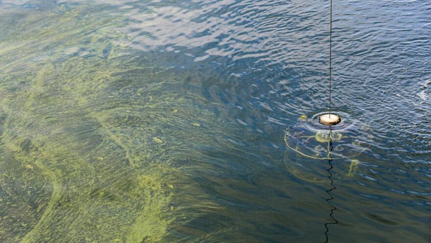
Based on the data collected on merchant ships, the ecology and species changes of phytoplankton of the bright surface layer can be studied. Alongside the plankton data, hydrographic data, which provides information about the characteristics of the sea, is collected. This data gives insights into the movements of water masses, such as upwellings, which strongly regulate the species composition of plankton. Alg@line observations are also used to verify ecological and flow models as well as satellite observations.
Flow-through data has been collected on merchant ships since 1993. It is used, for example, as background data in international marine data services, for predicting algal blooms, and for validating marine models and satellite observations. Since the plankton community is unevenly distributed in the water mass, dense sampling provides a more accurate picture of the rapid temporal and regional changes in the marine ecosystem.
-
 Find out more
How the oceans are studied
-
 Find out more
Monitoring the state of the Baltic Sea

