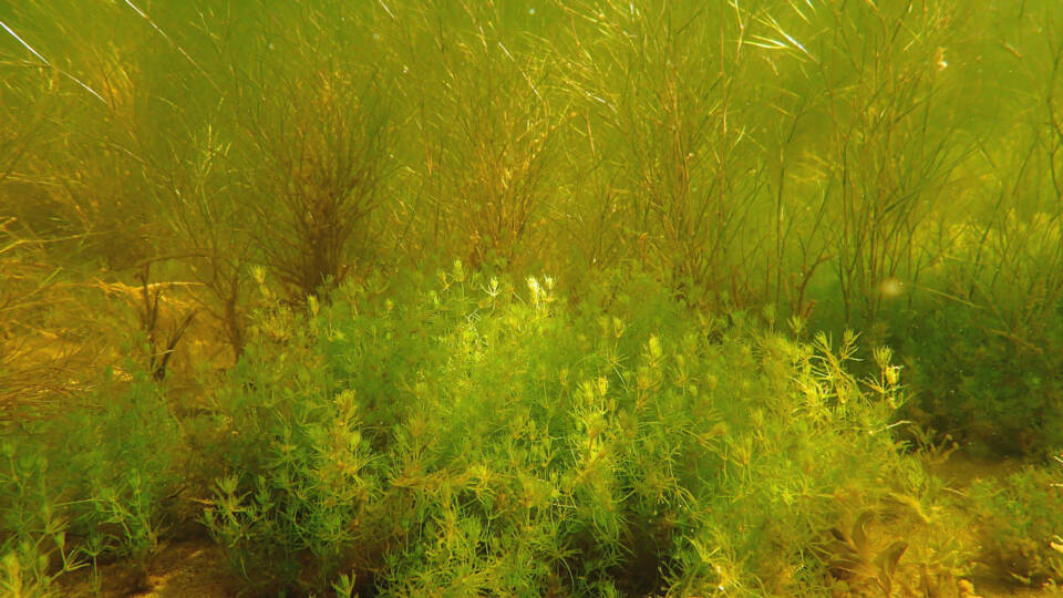
Vesisammalet
Viehkeät vesisammalet erottuvat hehkuvan vihreinä pohjasta, auringonvalon osuessa versoihin.
© Pekka Lehtonen, Metsähallitus
Underwater research has a fairly long tradition in Finland, but over time, data from our coastline has been collected rather sporadically. To address this challenge, the Velmu Programme was launched in the early 2000s. It brought together scattered datasets, guided a number of research projects, and eventually headed out to sea with the goal of mapping the distribution of species and habitat types along our coasts.
Velmu in a nutshell!
The Mapping Programme for the Underwater Marine Biodiversity (Velmu) has been surveying marine nature since 2004. During this time, over 170,000 observations of underwater marine nature and species have been collected from Finland’s marine areas. Velmu’s long-term work for nature has also received international recognition, winning the Natura 2000 Award in 2020.
Velmu also opened a window to the underwater world for the general public through the book Treasures of the Sea, published in 2017. The book gained a new chapter on Åland’s marine nature when it was translated into Swedish in 2020. But most importantly, the comprehensive datasets and long-term efforts to refine them have created a solid foundation for advancing conservation and combating biodiversity loss.
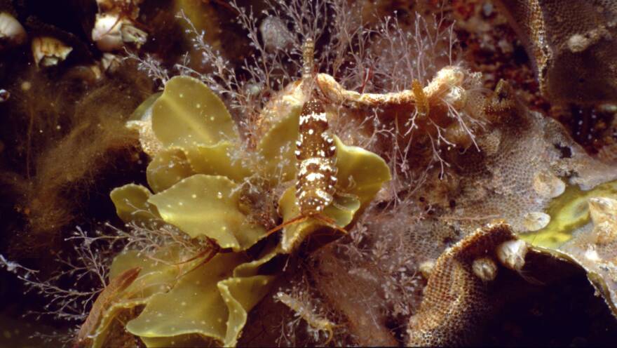
As you move along the coastline, you’ll notice that the species composition gradually changes as you head north. A keen observer will see how algae, such as bladderwrack, slowly become less common, while vascular plants and mosses appear more frequently. This shift is a result of decreasing salinity in the water. Thanks to the Velmu Programme, we now have a wealth of observations on species and extensive data on environmental variables in marine areas.
Using species observations and environmental data, statistical models can be built to describe the relationship between species and environmental factors. These models can then be used to create maps of species distribution across Finland’s entire marine area. By examining multiple maps that show species distributions and valuable ecological features, we can identify where marine natural values are concentrated. Such analyses are extremely important when planning the placement of new protected areas and coordinating various marine activities.
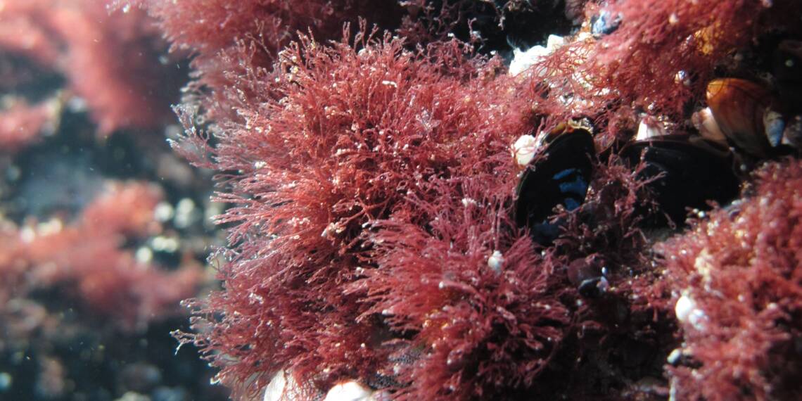
Many people assume that the underwater nature of the Baltic Sea is similar throughout Finland’s coastline. TV documentaries often show bladderwrack, blue mussels, and eelgrass. The Velmu Programme has effectively dispelled this misconception — the “traditional” Baltic Sea species are found only in the saltier marine areas such as the Gulf of Finland, the Archipelago Sea, and the Bothnian Sea.
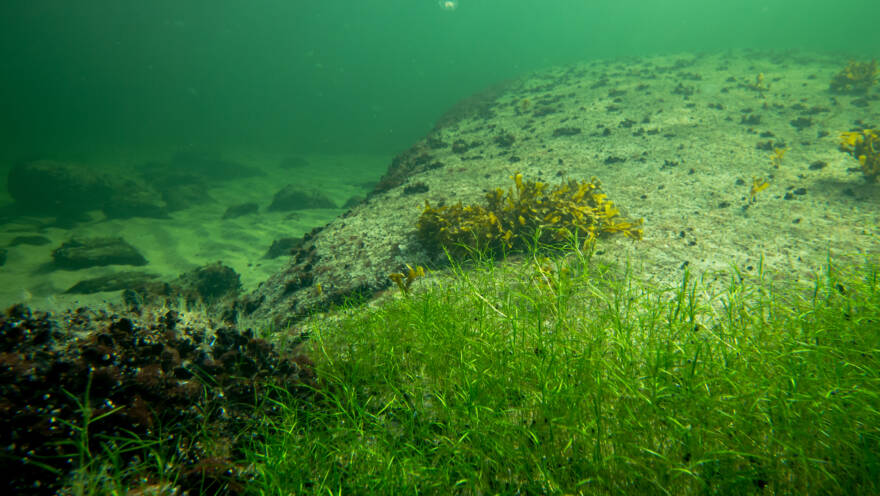
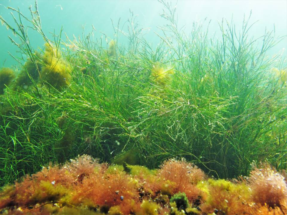
Well before reaching the Kvarken region, eelgrass — which struggles at the edge of its salinity tolerance — disappears from the species composition. North of Kvarken, other saltwater species such as bladderwrack, blue mussels, barnacles, and most red algae also vanish. In the innermost parts of the Bothnian Bay, aquatic mosses and numerous freshwater vascular plants and stoneworts dominate. In the eastern Gulf of Finland, the species composition also shifts toward freshwater species, though the species differ from those in the north (for example, the endangered Callitriche pulchra can be found there).
Even the color of the water changes as you move east and north toward large river estuaries — from greenish plankton-rich water to a brownish, humus-rich environment dominated by zooplankton.
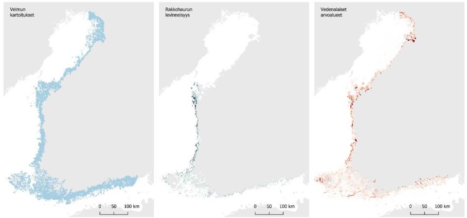
Ecologically Significant Underwater Marine Areas (EMMA) in Finland
To highlight the regional uniqueness and ecological value of Finland’s marine areas, EMMA sites — Ecologically Significant Underwater Marine Areas — have been identified along the Finnish coastline. Using Velmu data and expert input, areas were recognized for their importance, such as key fish spawning grounds, estuaries, concentrations of endangered aquatic plants, or underwater areas with notable geological features.
Identifying Local Gems
The more closely we zoom in on the map, the more local biodiversity and fine-scale variation we discover. Even though the Archipelago Sea is one of the most biodiverse marine areas in Finland, it still contains locally unique hotspots. These local gems may include species-rich flads (coastal lagoons) that serve as spawning and nursery grounds for fish, individual bays teeming with endangered species, or diverse, pristine marine habitats free from human pressure around remote outer islands.
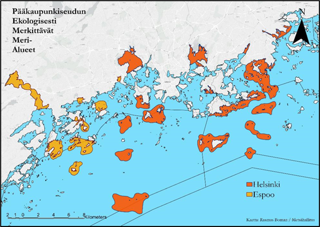
So far, local EMMA sites — known as PEMMA sites (locally significant EMMA areas) — have been identified off the coasts of Helsinki and Espoo. The PEMMA work is expected to continue along other parts of Finland’s coastline.
The underwater marine nature map service is an excellent place to explore the boundaries of EMMA and PEMMA areas. The map also includes species observations collected by Velmu and other interesting datasets that provide insights into marine nature and its condition. The map service is public, allowing anyone to easily and freely check where underwater surveys have been conducted and what animals, plants, and algae have been found on the seabed.
When species observations are displayed on the map, it becomes clear that surveys have been carried out extensively along Finland’s coastline. Not every bay and islet has been surveyed, but in those areas, potential species can be examined using species distribution models. These models help us understand where conditions are favorable for different species and habitat types — and, for example, where the most important fish spawning areas might be located.
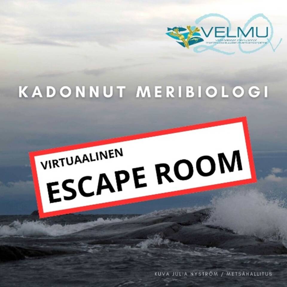
To make it easier to engage with the map service, Velmu has developed a virtual escape room game to lower the threshold for exploring underwater marine nature and the map itself. The creative and puzzle-filled virtual escape room game “The Lost Marine Biologist” guides players into the world of underwater nature — regardless of their prior knowledge. The game works best when played on a computer.